Ground Control
Plan and execute your drone operations with iOS, Android, or DJI Smart Controller.
Plan and execute your drone operations with iOS, Android, or DJI Smart Controller.

Flight
Status
Draft
Altitude
100 meter
Start mission
11-03-2025 16:00
End mission
11-03-2025 17:00
Line of sight
VLOS
Bombeiros, Portugal 11-03-2025 16:00
Start
In-Flight
79%
29:54
Pauze
Altitude
56.0
Elevation
55.8
Distance
224.2 m
V.Speed
2.0 m
H.Speed
2.0 m
WIDE
MAIN
Fly with AirHub
Control your DJI drone with the AirHub application.
DJI Pilot 2 with Cloud Service
Control your DJI drone with the DJI Pilot 2 application
AirHub - Flight Timer
Time flight with start / stop button
Choose workflow
Secure Data Mode
Flight
Status
Completed
Take off weater
Altitude
100 meter
Date
11-03-2025 17:00
Line of sight
VLOS
Bombeiros, Portugal 11-03-2025 16:00
Flight
Status
Draft
Altitude
100 meter
Start mission
11-03-2025 16:00
End mission
11-03-2025 17:00
Line of sight
VLOS
Bombeiros, Portugal 11-03-2025 16:00
Start
In-Flight
79%
29:54
Pauze
Altitude
56.0
Elevation
55.8
Distance
224.2 m
V.Speed
2.0 m
H.Speed
2.0 m
WIDE
MAIN
Fly with AirHub
Control your DJI drone with the AirHub application.
DJI Pilot 2 with Cloud Service
Control your DJI drone with the DJI Pilot 2 application
AirHub - Flight Timer
Time flight with start / stop button
Choose workflow
Secure Data Mode
Flight
Status
Completed
Take off weater
Altitude
100 meter
Date
11-03-2025 17:00
Line of sight
VLOS
Bombeiros, Portugal 11-03-2025 16:00


Trusted By


Flight
Status
Draft
Altitude
100 meter
Start mission
11-03-2025 16:00
End mission
11-03-2025 17:00
Line of sight
VLOS
Bombeiros, Portugal 11-03-2025 16:00
Start
Fly here
Geen waarschuwingen
Live airspace

Bombeiros, Portugal
Flight
Status
Completed
Take off weater
Altitude
100 meter
Date
11-03-2025 17:00
Line of sight
VLOS
Bombeiros, Portugal 11-03-2025 16:00
Flight
Status
Draft
Altitude
100 meter
Start mission
11-03-2025 16:00
End mission
11-03-2025 17:00
Line of sight
VLOS
Bombeiros, Portugal 11-03-2025 16:00
Start
Fly here
Geen waarschuwingen
Live airspace
Bombeiros, Portugal
Flight
Status
Completed
Take off weater
Altitude
100 meter
Date
11-03-2025 17:00
Line of sight
VLOS
Bombeiros, Portugal 11-03-2025 16:00
Ground control
Aware of your surroundings
Aware of your surroundings
Always have the most current map information such as the weather, NOTAMs and more. Switch between UTM providers to get current insights of your specific country.
Ground control
Create a flight plan on site in less then 30 seconds
Create a flight plan on site in less then 30 seconds
Quickly create new flight plans or execute pre-planned waypoint missions, for autonomous flights.
Ground control
Choose the workflow
Choose the workflow
You have the option to fly with the AirHub Cockpit or use the DJI Pilot 2 app in combination with the Cloud api.
Ground control
Protect your data
Protect your data
Protect your data
The AirHub Secure Data Mode feature is designed to give users complete control over their data and privacy.
The AirHub Secure Data Mode feature is designed to give users complete control over their data and privacy.
Ground control
Easy to use flight controls
Easy to use flight controls
Easy to use flight controls
Thanks to the optimized user interface, designed for drone operators, it is easy for anyone to fly with our app.
Ground control
Share the stream smoothly with others
Share the stream smoothly with others
Share the stream smoothly with others
Never forget what you discovered during your missions. Capture helpful information with a picture, by recording it or scan the environment using the AI integration.
Ground control
Be compliant anytime anywhere, every flight
Be compliant anytime anywhere, every flight
Be compliant anytime anywhere, every flight
Every flight is automatically stored in the logbook and synced in to the AirHub cloud. Always have detailed flight information in a split second.
AirHub enables us to integrate and streamline our aerial systems under a unified platform.

Major Muhammad Omar Al Muhairi
Director of UASC

Dubai Police is the global frontrunner in deploying proactive drone technology for the fastest emergency and public safety response.
AirHub is for us a platform that encompasses everything for the Drone Operations

Bram Schoors
Chief Inspector

The Belgian Police utilize drone technology for immediate, shared situational awareness, significantly enhancing operational coordination and emergency response speed.
With AirHub, we have a single, secure platform to coordinate hundreds of drone teams across different regions and agencies, whether it’s wildfires inland or maritime rescues along the coast.

Pedro Tavares
Head of Drone Training & Operations Escola Nacional de Bombeiros
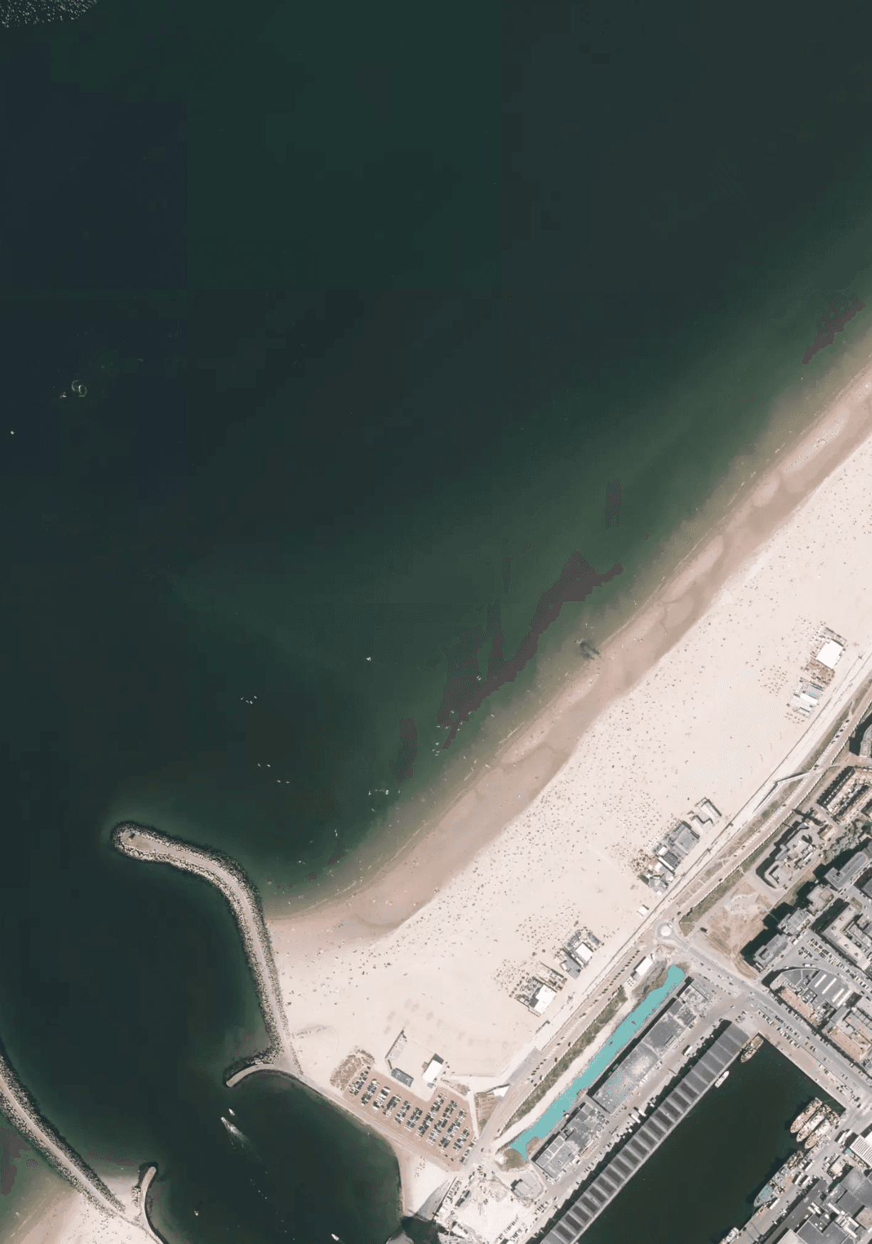
National Civil Protection Official of Portugal uses AirHub to manage 700+ drone pilots nationwide, providing centralized thermal mapping and real-time coordination for major wildfire and rescue operations.
AirHub enables us to integrate and streamline our aerial systems under a unified platform.
Major Muhammad Omar Al Muhairi
Director of UASC
Dubai Police is the global frontrunner in deploying proactive drone technology for the fastest emergency and public safety response.
AirHub is for us a platform that encompasses everything for the Drone Operations
Bram Schoors
Chief Inspector
The Belgian Police utilize drone technology for immediate, shared situational awareness, significantly enhancing operational coordination and emergency response speed.
With AirHub, we have a single, secure platform to coordinate hundreds of drone teams across different regions and agencies, whether it’s wildfires inland or maritime rescues along the coast.
Pedro Tavares
Head of Drone Training & Operations Escola Nacional de Bombeiros
National Civil Protection Official of Portugal uses AirHub to manage 700+ drone pilots nationwide, providing centralized thermal mapping and real-time coordination for major wildfire and rescue operations.
Features
All the features you need in the field
Automated missions
Efficiently execute your mission by setting up behavior automation.


Flight geography
Set precise geography information for your drone operations.


Custom map layers
Create your custom map layers based on your operational needs.

3G 4G 4G+ Coverage
Polygons

Borders
5G Coverage
Polygons
Borders
Risk analysis
Analyze the risks you might encounter during your flight before running your missions.

Scheduled missions
Schedule your operations to run automatically at a specific date and time.


Templates
Reduce repetitive tasks by creating a template that you can use for every mission.


Airspace regulatory
Obtain real-time information on your operation's air space regulations.


Weather
Obtain real-time information on the latest weather conditions.

Mission approvals
Ensure that authorized stakeholder approves your operations before any flights.


Tags
Easily filter and organize your operations with customized tags.


Checklists
Streamline your team's workflows with customized and standardized checklists.
Complete
Pre-flight checklist
Last updated 5 januari by Harold Stegema
This checklists is used to prepare the drone operation
Items
4
Duration
+- 2 min
1. Availability of all normal equipment

2. Availability of all equipment
3. Intelligent Flight Battery Level
4. Micro-SD Card or CINEDSSD
5. Visual inspection of flight surfaces
Automated missions
Efficiently execute your mission by setting up behavior automation.
Airspace regulatory
Obtain real-time information on your operation's air space regulations.
Flight geography
Set precise geography information for your drone operations.
Custom map layers
Create your custom map layers based on your operational needs.
3G 4G 4G+ Coverage
Polygons
Borders
5G Coverage
Polygons
Borders
Weather
Obtain real-time information on the latest weather conditions.
Risk analysis
Analyze the risks you might encounter during your flight before running your missions.
Mission approvals
Ensure that authorized stakeholder approves your operations before any flights.
Scheduled missions
Schedule your operations to run automatically at a specific date and time.
Tags
Easily filter and organize your operations with customized tags.
Templates
Reduce repetitive tasks by creating a template that you can use for every mission.
Checklists
Streamline your team's workflows with customized and standardized checklists.
Complete
Pre-flight checklist
Last updated 5 januari by Harold Stegema
This checklists is used to prepare the drone operation
Items
4
Duration
+- 2 min
1. Availability of all normal equipment
2. Availability of all equipment
3. Intelligent Flight Battery Level
4. Micro-SD Card or CINEDSSD
5. Visual inspection of flight surfaces
Software
Software
Supported drones
Supported drones
Features
M300, M400 (RTK)
M300, M400 (RTK)
M350 (RTK)
M350 (RTK)
M30(T)
M30(T)
Features
Camera
Record video
Livestream
RTMP-streaming
Obstacle avoidance
4G Networking
Lights
Thermal camera
Waypoint missions
Secure Data Mode
DJI Cloud API workflow
Direct live control
RTK
Features
Mavic 3 M
Mavic 3 M
Mavic 3 Enterprise
Mavic 3 Enterprise
Mavic 3 Enterprise T
Mavic 3 Enterprise T
Features
Camera
Record video
Livestream
RTMP-streaming
Obstacle avoidance
Secure Data Mode
Lights
Direct live control
4G Networking
Waypoint missions
DJI Cloud API workflow
RTK
Thermal camera
Features
Mini 1 & 2
Mini 1 & 2
Mini 3 (Pro)
Mini 3 (Pro)
Mini 4 (pro)
Mini 4 (pro)
Features
Camera
Record video
Livestream
RTMP-streaming
Lights
Secure Data Mode
Obstacle avoidance
4G Networking
Thermal camera
Waypoint missions
DJI Cloud API workflow
Direct live control
RTK

Dowload the AirHub Groundcontrol app
Dowload the AirHub Groundcontrol app
Dowload the AirHub Groundcontrol app
Start your Drone Operation today
Start your Drone Operation today
Start your Drone Operation today

Built for Mission Critical Operations
Mission-critical software for drone operations in public safety, security, and critical infrastructure.
Unmanned Valley - The Netherlands
Built for Mission Critical Operations
Mission-critical software for drone operations in public safety, security, and critical infrastructure.
Unmanned Valley - The Netherlands
Built for Mission Critical Operations
Mission-critical software for drone operations in public safety, security, and critical infrastructure.
Unmanned Valley - The Netherlands
Built for Mission Critical Operations
Mission-critical software for drone operations in public safety, security, and critical infrastructure.
Unmanned Valley - The Netherlands