•

Nerissa Goedhart
Drought, dykes and the inspection load on Dutch water authorities

In late June, inspectors at the Hoogheemraadschap van Delfland walked their most drought-sensitive dykes and found eight cracks. Four weeks later the same round produced 34. In the first week of August, NOS reported inspectors counting 180 across 42 kilometres, 18 of them classed as serious.
That progression is why dyke inspections have quietly become one of the heaviest recurring jobs in Dutch water management this summer. It is also worth looking at closely, because an inspection programme running at that pace asks something different of a team than an annual round does.
Why the inspections keep coming
Peat is the reason. A Deltares and STOWA assessment of peat dyke stability sets out the mechanism: drought pulls water out of the dyke body, the peat shrinks in every direction, and that shrinkage produces the cracks. The dyke also loses weight as it dries, which weakens it separately. Heavy rain afterwards is a risk moment in its own right, because the crest has been lowered by shrinkage and does not swell back quickly, so the end of a dry spell does not end the monitoring.
On 7 August the Unie van Waterschappen said 11 of the 21 Dutch water authorities were running extra dyke inspections, mainly those with peat in their defences. The scale is what stands out rather than the severity. Rijnland found close to 150 cracks across 265 kilometres of drought-sensitive defences and judged that most needed no intervention at all.
The real operational story is repetition
Read the water authorities' own updates and a pattern emerges that has nothing to do with any single crack.
NOS reported Delfland's inspected length going from 17 kilometres to 42 kilometres between two rounds two weeks apart. Delfland mows its drought-sensitive dykes in full, specifically so that cracks are easier to spot by someone on the ground. And the rounds keep coming, because the situation keeps changing.
So the load is not one difficult inspection. It is the same long stretches, walked again and again, at shortening intervals, through a summer, by teams that also have a day job. Each round has to produce something comparable to the last one, because the useful question is never how many cracks exist today. It is whether this crack has grown since the previous visit.
That turns an inspection programme into three separate problems: covering the ground, doing it consistently enough that two rounds can be compared, and holding a record that stands up afterwards.
What drones do here, and what they do not
Drones do not spot cracks in a peat dyke better than an experienced inspector. That is close visual work, which is why authorities mow the dykes first and walk them after. The aerial side helps with the three problems around that judgement rather than with the judgement itself.
Covering the ground. Long linear assets are exactly the geometry drones suit, and the stretches that are awkward to reach on foot are awkward on every single round. Zuiderzeeland's team used to walk as much as twenty minutes to a sampling point and now reaches it in two, and they get to spots behind tall reeds that are difficult to work on foot. That is water quality monitoring rather than dyke inspection, but the constraint is the same one: distance and terrain cost time on every repeat visit.
Making rounds comparable. This is where planning matters more than flying. A mission flown from a saved plan repeats the same route, height and camera angles, so round three lines up against round one instead of depending on which colleague walked it and where they happened to stand. Without that, you have a stack of observations rather than a series, and the question of whether a crack has grown gets harder to answer than it should be.
Holding the record. As the cadence goes up, the administrative tail goes up with it: who flew, when, over which section, with what result, and can you produce that quickly when somebody asks. Zuiderzeeland's drone coordinator Jeroen van der Meer describes what that was worth when the regulator came calling:
Some time ago, we underwent an audit by the ILT, which went well. We were able to provide the requested information quickly and thus complete the audit successfully.
His colleague Martijn Jansen, a drone pilot at the same authority, puts the day-to-day version more plainly:
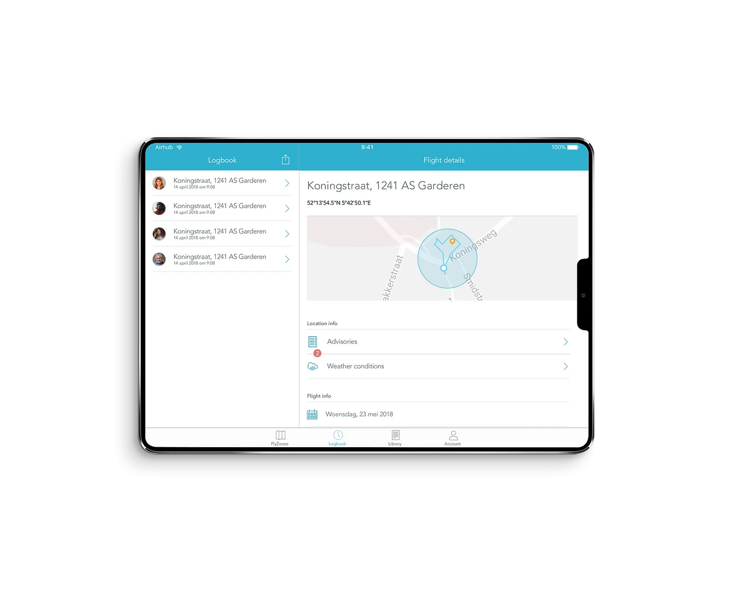
AirHub has improved our way of working because everything can be done in one system. We are no longer dealing with all sorts of separate systems or Excel files. Everything is logged automatically, and we no longer have to do flight preparation anywhere else.
The excel point is the one worth sitting with. A monitoring programme that lives in spreadsheets works fine at one round a season. At four rounds in six weeks, across a widening stretch of dyke, with more people involved, the spreadsheet becomes the bottleneck and eventually the risk.
Where this leaves a water authority
The 2026 drought will end and the inspection rounds will drop back. What makes it worth planning around rather than absorbing is that in January 2026 KNMI extended its drought monitoring to run all year, alongside the April to September window it had used until then, on the basis that its own research shows meteorological drought can begin before April and that the chance of it is rising with climate change.
For teams already flying, repeatable mission planning is where the comparability comes from and fleet management is where the oversight does. Curious how AirHub helps Zuiderzeeland in their day to day business? Read all about it in their case study.
*Photo: Hoogheemraadschap van Delfland, drought inspection August 2026