Written By: Michiel Froling
Last Updated on April 24, 2023
Flight Geo-position
Geo-positionWhile planning a flight, one of the most important tools frequently used by pilots and operators is Geoposition, which can be accessed on both the Operation Center and Ground Control apps right from the mission map.Drone Operation Center
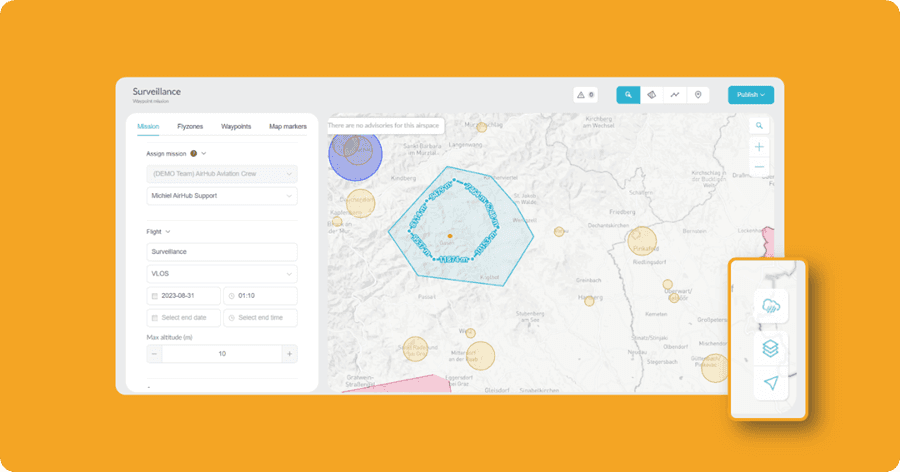
In the Drone Operation Center, you can access Geoposition right from the icon. Here’s how:
Create a new mission from the “New Mission” button on the top-left menu on the dashboard, or go to the Mission tab in the left menu on the dashboard and click on the “New Flight” button on the top right corner on the Mission page.
This will redirect you to the New Mission page.
On the map, you will find several icons on the bottom-right corner. The last icon is for viewing the Geoposition.
Click on the Geoposition icon, and it will display the map coordinates with your current location. You can easily draw the fly zones and waypoints around the area.
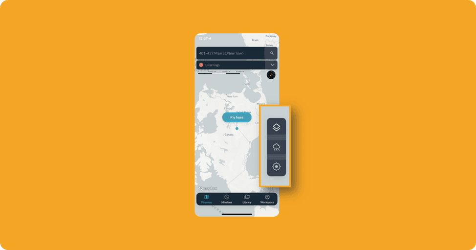
Ground Control App
Similarly, in both the Android and iOS apps, you can access Geoposition as follows:
After starting a flight and selecting your flight area, you can find the coordinates at the top.
Additionally, in the Android app, you can also view coordinates by clicking on the Geoposition icon located on the bottom-right of the right menu. This action will redirect the map to your coordinates, and the same coordinates will be displayed in the top search bar.