•

Stephan van Vuren
AirHub Drone as First Responder software: one shared picture of the incident

An emergency call comes in. The location is clear. What is happening there is still uncertain.
Responding officers need to know what they are approaching. Fire crews need to understand access and hazards. The control room needs to decide which resources to send. Each team has questions, and the answers are changing by the second.
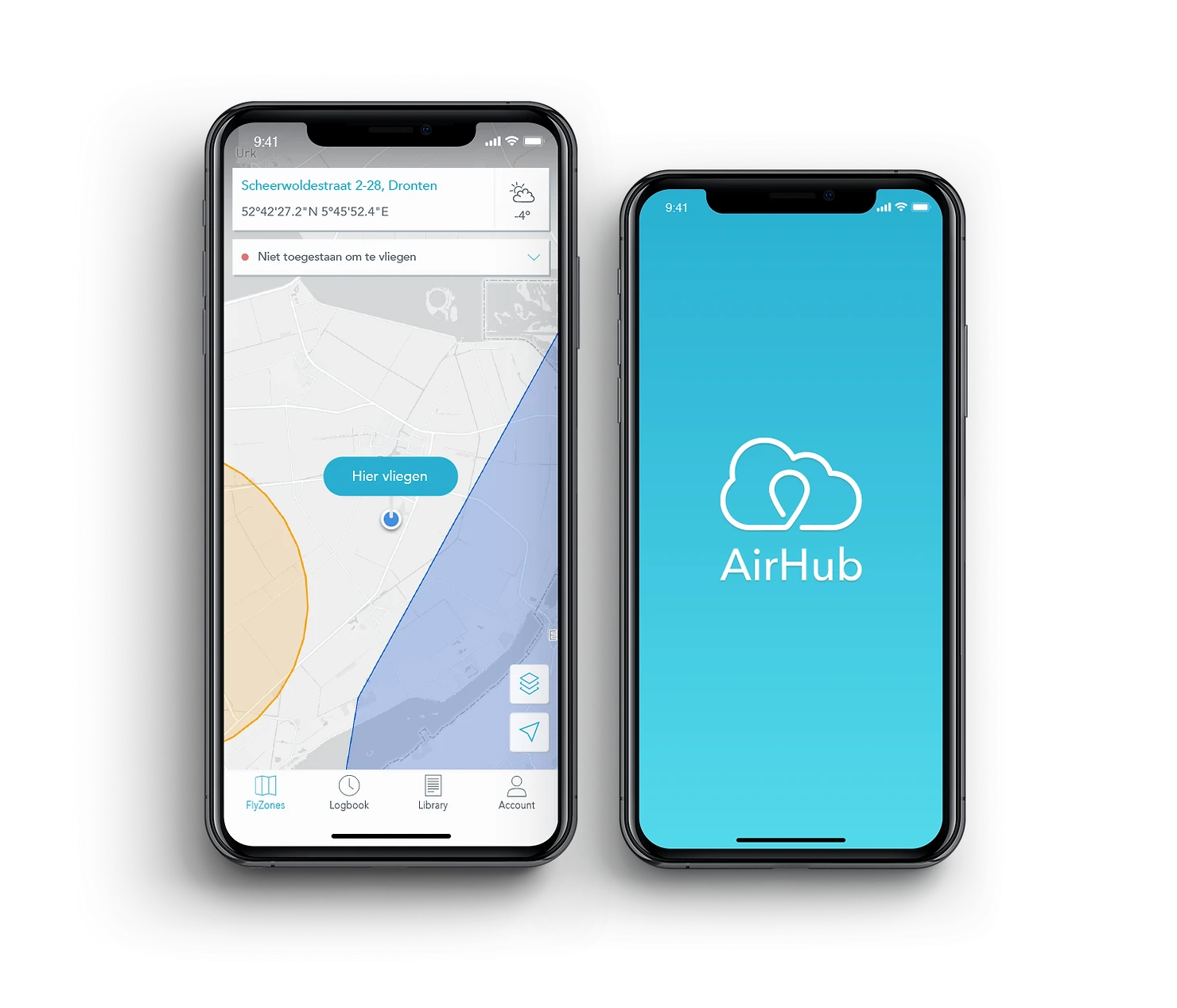
AirHub Drone as First Responder (DFR) software closes that information gap. It connects drone deployment, live video and operational coordination, so responders work from a shared view of an unfolding incident. The Drone Operations Centre is where that comes together: a live environment in which teams see, interpret and share operational information. That is a common operating picture, usually shortened to COP.
How the DFR workflow starts, from emergency call to eyes on scene
The workflow starts with Computer Aided Dispatch (CAD). With the integration configured, an incoming incident triggers AirHub's DFR workflow directly from the dispatch system.
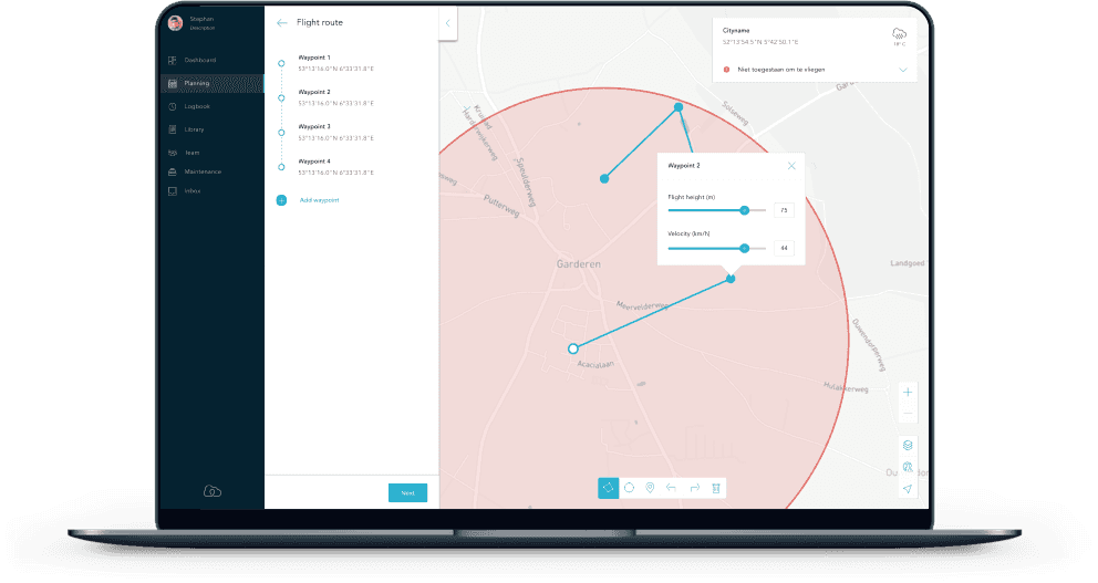
AirHub selects the best-positioned drone dock and calculates a route around weather, airspace and no-fly zones. The drone travels to the incident under operator supervision and brings an aerial perspective into the control room while responding units are still on their way.
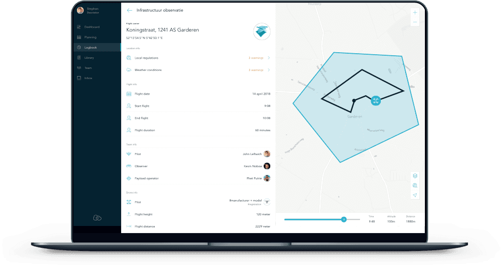
That early view gives commanders time to assess the situation and adjust the response before teams arrive, and AirHub records the flight information for later reporting and review.
How DFR software builds the common operating picture
A useful COP connects what teams are seeing with where it is happening.
AirHub's Custom Sessions combine multiple live feeds, maps and data sources in a persistent, shared dashboard. Connected devices appear with their video and their real-time location, so operators can see the relationship between a camera view and the wider incident.
The picture reaches people beyond the control room as well. Sessions can be shared with internal teams and external stakeholders, with controls including link expiry, IP restrictions and map visibility.
Consider a developing incident with several agencies involved. Commanders reference the same live scene, identify which entrance they mean, point colleagues towards the relevant view and follow developments together. The COP becomes the practical basis for coordination, a shared reference that holds as the situation changes.
Connecting the Real Time Crime Center (RTCC)
For a Real Time Crime Center, the room where an agency pulls its camera and data feeds together, aerial video adds a mobile perspective to fixed coverage.
AirHub brings drone footage into a Video Management System (VMS) through streaming protocols including RTSP and RTMP, so a compatible control-room environment displays aerial footage alongside its other video sources.
Imagine a fixed camera showing the front of a building while the drone covers the surrounding streets. Together those perspectives show movement, access and the broader scene, and operators can pass what matters to responding units.
Making aerial footage available inside the systems operators already use is what connects drone operations to everyday incident management.
Including awareness of the airspace
The operational picture also has to account for activity above the incident.
Counter-UAS sensors integrate directly into AirHub, bringing detected drone activity into the same COP as the organisation's own operations. Operators assess what is happening on the ground alongside what is in the surrounding airspace. Detection coverage depends on which sensors are deployed.
For police, fire, search and rescue and security teams, that context supports airspace coordination and informed decisions as an incident develops.
One shared picture, different operational needs
The value of a shared view runs across public safety and security.
Police: Live aerial video supports scene assessment and helps officers understand their surroundings before arrival.
Fire: With thermal equipment fitted, aerial feeds help commanders assess fire activity and coordinate resources.
Search and rescue: Teams combine perspectives from drones, vessels and personnel to support searches on land or water.
Security: Aerial coverage helps teams investigate activity beyond the view of fixed cameras.
AirHub brings video from drones, bodycams, mobile phones and compatible streaming devices into a single overview, which is what makes the shared picture useful across different teams and environments.
During a waterfront emergency, for example, police might coordinate access while fire and rescue crews respond on the water. A drone provides the overhead view, and feeds from personnel or vessels add detail from the scene. Sharing those perspectives lets each team see how its actions fit into the wider response.
The decisive moment comes when someone uses the information: a commander adjusts the response, an officer arrives better prepared, a rescue team gets a clearer direction.
That is the value of AirHub DFR as a COP. It connects the first alert to a shared understanding of the scene, and it helps the people responding make informed decisions while those decisions still matter.
What any given deployment can automate depends on its infrastructure, configuration and operational approvals. Our public safety and security pages set out what that looks like in practice.